Bohemian And Saxon Switzerland Tour
Planning Guide

Bohemian and Saxon Switzerland National Park Map

Two national parks share one sandstone massif, split by an international border that most trail maps treat as an edge rather than a middle. Reading a bohemian and saxon switzerland national park map correctly is the difference between a clean 14-kilometre loop and an accidental detour up the wrong gorge. This guide explains what each sheet actually shows, how the zoning is drawn, and what the symbols mean on the ground.

8 min read Updated 2026-08-16 Fact-checked
Bohemian and Saxon Switzerland National Park Map

Quick answer

No single official sheet covers both parks: the German side is mapped by Sachsenforst and the Czech side by Správa NP České Švýcarsko, so most hikers carry a cross-border commercial map instead. Both parks are free to enter at 0 EUR, and the terrain is open around the clock — 00:00–23:59, seven days a week. Paper still beats phone signal in the gorges.

The sandstone here was laid down as seabed roughly 95 million years ago, which is why a bohemian and saxon switzerland national park map reads less like a hiking chart and more like a cross-section: the contour lines cluster into ribs and towers because the rock eroded along vertical joints rather than slopes. The German park covers about 93 square kilometres; its Czech twin, České Švýcarsko, adds around 79. Together they form one continuous Elbe Sandstone landscape, but they are administered separately, signed separately, and — critically for anyone printing a route — mapped separately. That administrative split is the single most useful thing to understand before setting out. Sachsenforst publishes the German sheets; the Czech park authority handles the far bank of the Kamenice. Neither sheet extends far past the border, so a route from Bad Schandau to Pravčická brána usually falls off the edge of one map halfway through. Commercial cartographers solve this: the widely used Rolf Böhm sheets and the Czech KČT series both overlap the frontier. On the ground, the Czech KČT colour-blazing system — red, blue, green, yellow stripes painted on trees and rock — is unusually reliable, while German trails carry their own painted symbols: the green diagonal stripe marks the Malerweg, and a circle, triangle or bar denotes route class. Zoning matters as much as topography. Large tracts sit under strict protection where leaving the marked path is prohibited, and a proper bohemian and saxon switzerland national park map guide shades these areas rather than leaving them blank. Kirnitzschtal, the Schrammsteine ridge, the Affensteine and the Großer Winterberg all sit inside or beside restricted ground; the Bastei plateau is heavily managed for footfall. Wild camping is banned throughout, though a handful of designated Boofen — overhanging rock shelters — remain legal on the German side and appear as small symbols worth learning before you rely on one. Carry the sheet, not just the phone. Reception drops in the Schwedenlöcher and along the deeper ravines, and the ladders and iron stanchions that thread the Häntzschelstiege are not places to be squinting at a dying battery. The park administration keeps route closures current at nationalpark-saechsische-schweiz.de, and the visitor centre sits at An der Elbe 4, 01814 Bad Schandau, where the same cartography is sold across the counter.

“Two parks, one sandstone massif, and no single official sheet that covers both.”
Directions

Bohemian and Saxon Switzerland National Park Map: Arrival and Access

Saxon Switzerland National Park is accessible primarily via the town of Bad Schandau, which serves as the central hub for regional transport. Visitors can reach the area using a combination of international rail connections and local transit services.

Train 45 min

S-Bahn S1 from Dresden to Bad Schandau station

Bus 15-20 min

Line 252 from Bad Schandau to Schmilka or hiking trailheads

Car 60 min from Dresden

Take the B172 to Bad Schandau and follow signs to local parking areas

Boat 5 min

Elbe Ferry service connecting the train station to the town center

For those driving, aim to reach the designated parking areas between 06:00–09:00 to secure a spot before trailheads become congested. Utilizing the S-Bahn S1 and local bus connections provides the most reliable access to various starting points across the park.

Timing

Optimal Timing for Your Bohemian and Saxon Switzerland National Park Map Visit

To experience the park with the fewest disturbances, the best arrival window is 06:00–09:00. Arriving during this period allows you to avoid mid-day crowds and secure parking at popular trailheads before peak occupancy.

Weekday mornings

Minimal

Quiet trails and ample parking availability for early risers.

May and September

Moderate

Mild, 10°C to 20°C

Balanced temperatures ideal for extended hiking and photography.

July and August

High

Warm, 18°C to 25°C

Expect heavy traffic at landmarks; prioritize the earliest arrival window.

November to March

Low

Cold, -2°C to 8°C

Fewer visitors, though icy paths require caution and proper equipment.

Verdict: The most effective strategy is to visit on a weekday, arriving between 06:00–09:00 during the months of May or September.

Opening hours

Opening Hours for Bohemian and Saxon Switzerland National Park Map Routes

Bohemian and Saxon Switzerland National Park remains accessible to visitors throughout the week, allowing for flexible exploration of the trail network. The park grounds, including routes identified on the national park map, are open 24 hours a day.

Monday
00:00–23:59
Tuesday
00:00–23:59
Wednesday
00:00–23:59
Thursday
00:00–23:59
Friday
00:00–23:59
Saturday
00:00–23:59
Sunday
00:00–23:59
As the park is an open outdoor area, there are no gates or defined last-entry times for accessing the trails.
What to see

Named Landmarks on Your Bohemian and Saxon Switzerland National Park Map

Navigating the region requires identifying key geological formations and historical trailheads marked on official maps. These landmarks serve as primary reference points for exploring the diverse landscapes of Saxon and Bohemian Switzerland.

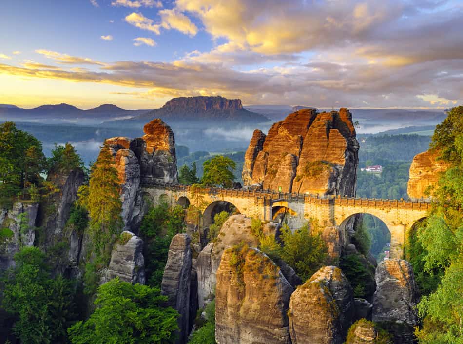
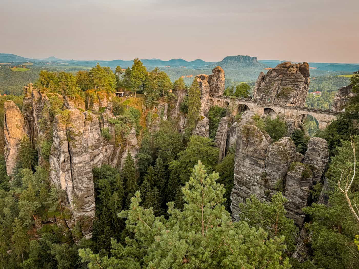
Bastei Bridge

Bastei Bridge

A sandstone rock formation featuring a historic stone bridge that offers panoramic views over the Elbe river canyon. Access this area via the designated walking paths from Rathen.

Arrive before 09:00 to photograph the bridge without crowds.
Lilienstein

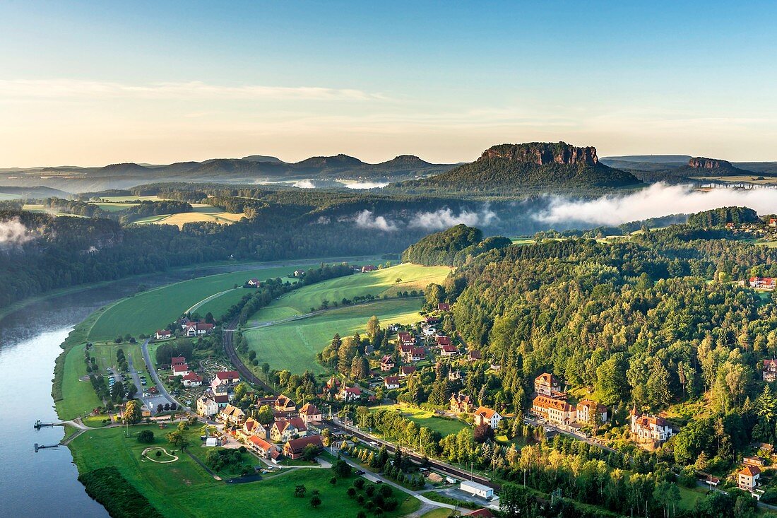
Lilienstein

A prominent flat-topped table mountain that stands as a landmark on the right bank of the Elbe. It provides extensive views of the surrounding national park terrain.

Follow the marked yellow trail for the direct ascent route.

Schrammsteine

Schrammsteine

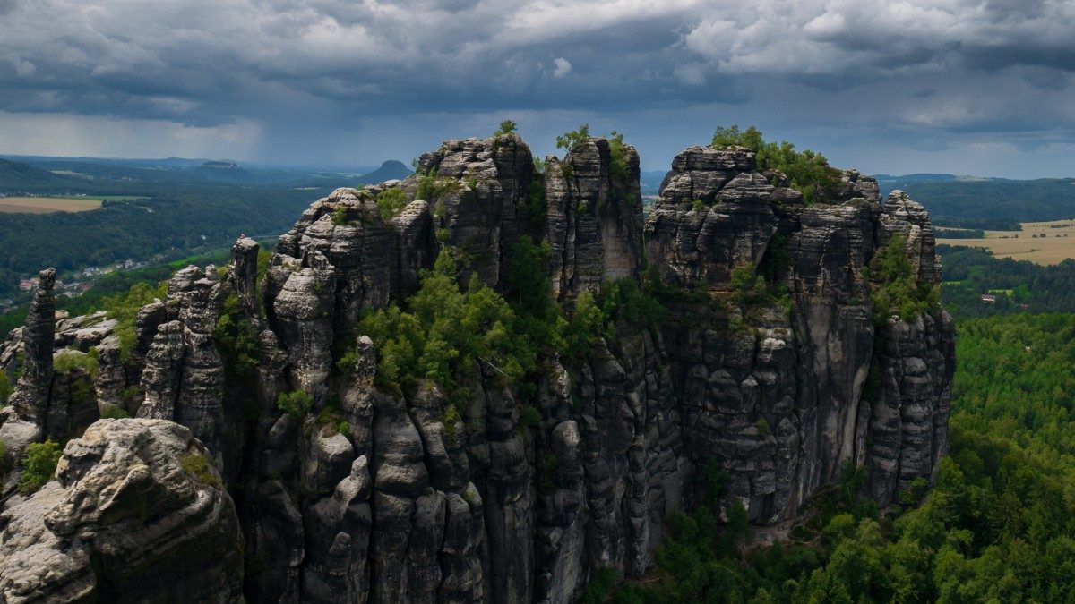
A dramatic group of jagged sandstone rocks offering challenging climbing paths and high-altitude vantage points. These formations are central to the hiking network in the park's interior.

Bring sturdy footwear for the iron ladders and narrow passages.

Pravčická brána

Pravčická brána

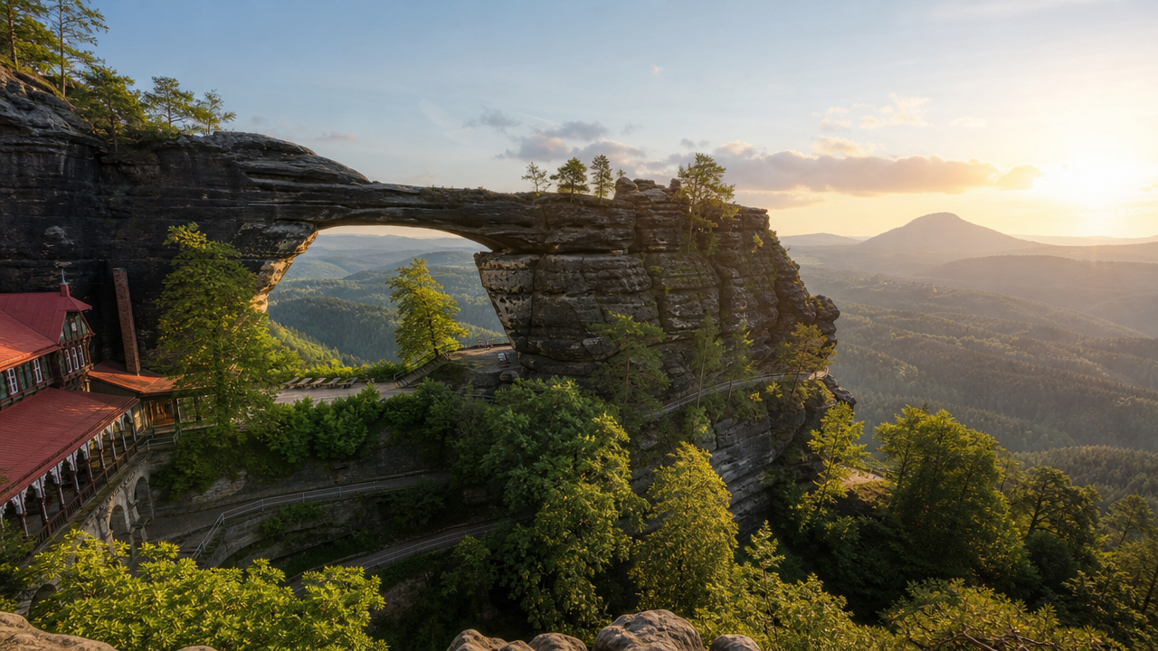
The largest natural sandstone arch in Europe, located on the Bohemian side of the border. It is a defining geological feature of the Elbe Sandstone Mountains.

Plan your route to include the Gabrielina stezka trail.

Kuhstall

Kuhstall

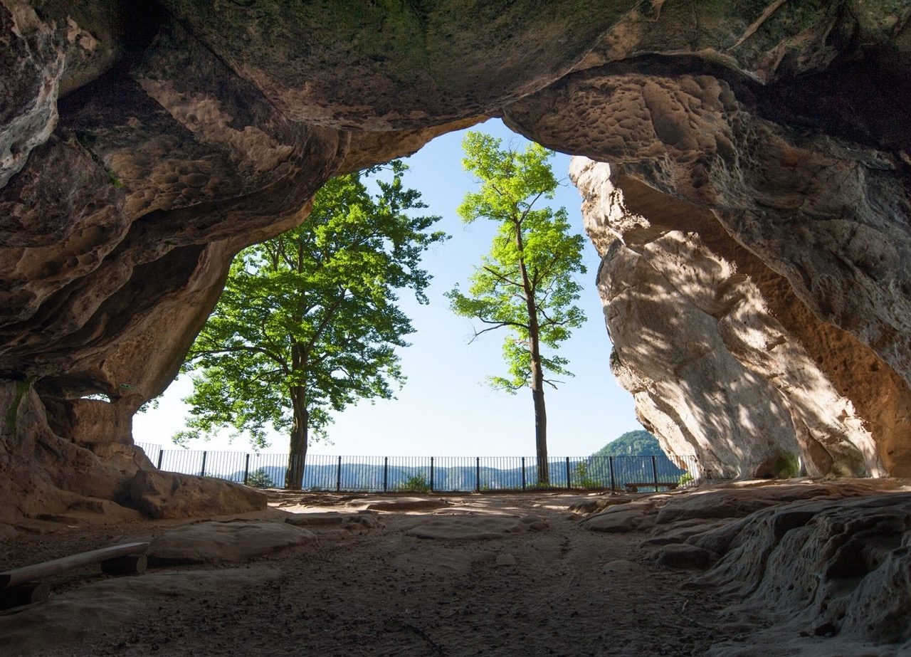
A large natural rock gate located near the Winterberg, historically used by locals to hide cattle. The narrow ladder known as the Himmelstiege leads to the top.

Visit the upper platform for clear views of the valley.

Book

Check availability

Frequently asked

Common Questions About Bohemian and Saxon Switzerland National Park Map

Everything you need to know about bohemian and saxon switzerland national park map

Do I need a printed bohemian and saxon switzerland national park map for navigation?

While digital tools are popular, carrying a printed bohemian and saxon switzerland national park map is recommended for reliable navigation in areas with limited mobile signal. These physical guides clearly mark topography and elevation changes across the sandstone landscape.

How can I access the bohemian and saxon switzerland national park map online?

You can view official resources through the park’s website to supplement your bohemian and saxon switzerland national park map. Digital versions often include updates on trail closures or environmental alerts.

Are there designated trails shown on any bohemian and saxon switzerland national park map?

Yes, every standard bohemian and saxon switzerland national park map details the extensive network of hiking paths and climbing routes. Following marked trails helps protect the fragile ecosystem of the Nationalpark Sächsische Schweiz.

Is the bohemian and saxon switzerland national park map useful for finding the Elbe Sandstone Mountains?

The park area is part of the broader Elbe Sandstone Mountains region, and a detailed bohemian and saxon switzerland national park map will help you locate key rock formations and viewpoints. It is an essential tool for hikers exploring the diverse terrain.

Does the park charge an entrance fee?

Entry to the national park area is 0 EUR. There are no ticket tiers for general park access, allowing visitors to explore the trails freely.

What is the best arrival time to avoid crowds?

To ensure a smooth experience and secure parking at popular trailheads, we recommend arriving between 06:00–09:00. This window helps you avoid mid-day crowds and enjoy the quieter morning atmosphere.

Are the trails accessible during late hours?

The park is open daily from 00:00–23:00. Visitors are free to enjoy the trails at their convenience while respecting local regulations and park guidance.

Keep reading

More guides & pages